Cart
You have no items in your shopping cart
Waterproof.
A large, medium-scale (1:40,000)waterproof map of the entirety ofSleeping GiantProvincial Parkthat is perfect for planning your trip, and guiding you on the ground, or waters, of this northwestern Ontario Park just eastof Thu
Read more..
Waterproof.
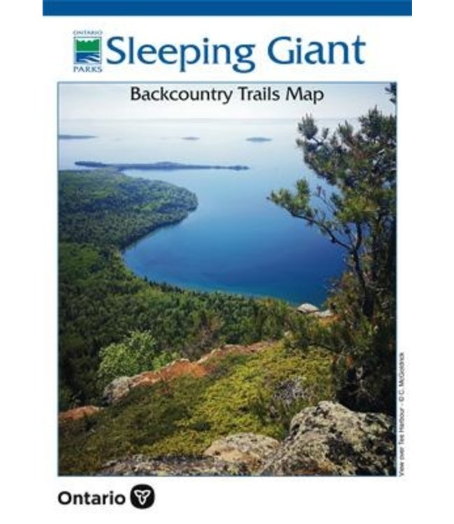
A large, medium-scale (1:40,000) waterproof map of the entirety of Sleeping Giant Provincial Park that is perfect for planning your trip, and guiding you on the ground, or waters, of this northwestern Ontario Park just east of Thunder Bay. With over 125km of trails, including to the top of the iconic "Sleeping Giant" set of mesas, there is plenty to discover including a car campground and a number of backcountry tenting sites in 7 separate pods scattered around the Park. Lake Superior, which surrounds the peninsula, also provides plenty of shoreline and numerous islands to explore by canoe or kayak, including the famous, and amazingly tiny, Silver Islet - once the world's richest silver mine.
This 2-sided guide, which Chrismar assisted the Park in producing in March 2021, shows all the short & longer-distance trails with distances and written descriptions, access points, campground, campsites, lookouts and other points of interest. This is a very good reference map for the Park.
0 stars based on 0 reviews
Add your review