Cart
You have no items in your shopping cart

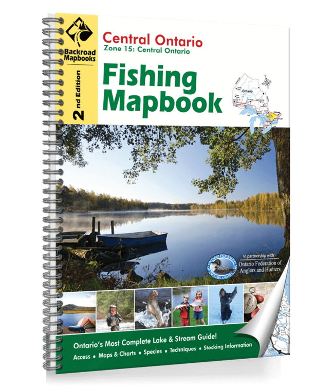
Map Features:Highways, Logging Roads, Land & Water Features, Parks, Adventure Points of Interest, Campgrounds, Hiking Trails, Motorized Trails, Paddling Routes, Hunting & Fishing Areas, Winter Recreation and moreAreas Covered:Algonquin Park, Arnpri Read more..
Map Features: Highways, Logging Roads, Land & Water Features, Parks, Adventure Points of Interest, Campgrounds, Hiking Trails, Motorized Trails, Paddling Routes, Hunting & Fishing Areas, Winter Recreation and more
Areas Covered: Algonquin Park, Arnprior, Bancroft, Bracebridge, Deep River, Gravenhurst, Haliburton, Huntsville, Minden, Parry Sound, Pembroke, Petawawa, Renfrew, Whitney, & more
Dimensions: 21.5cm x 28cm (8.5" x 11")
Map Scale: 133 Lake Charts @ various scales, 7 River Maps @ various scales
0 stars based on 0 reviews
Add your review