Cart
You have no items in your shopping cart
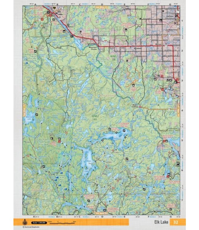
This recreation topographic map for Elk Lake highlights all the logging/resource roads, hunting areas, fishing lakes & streams, campsites, paddling routes for canoeing and kayaking, wildlife viewing areas, multi-use trails for hiking, biking, horseback ri Read more..
This recreation topographic map for Elk Lake highlights all the logging/resource roads, hunting areas, fishing lakes & streams, campsites, paddling routes for canoeing and kayaking, wildlife viewing areas, multi-use trails for hiking, biking, horseback riding, cross-country skiing and snowshoeing, motorized trails for ATVing and snowmobiling & more. Covering 3,040 km2 (1,170 mi2), this 1:85,000 scale map measures 48 x 63.5 km (30 x 39.5 mi), providing you with more topographic and recreational detail for the Meldrum Bay area than any other map on the market. New features include Crown land areas, countless new roads and trails plus additional recreational Points of Interest. Included on this map are Elk Lake, Mountain Lake, Montreal River, Makobe River, Makobe Lake, Lady Evelyn Smoothwater Prov park, Lady Evelyn Lake, Lady Evelyn River, Diamond Lake, Anima Nipissing Lake and more!
This map also covers the following Wildlife Management Units: WMU 28, WMU 40.
0 stars based on 0 reviews
Add your review