Cart
You have no items in your shopping cart

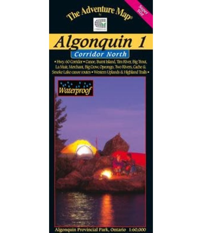
Our detailed topographic map & guide to all paddling routes, hiking & backpacking trails, and attractions all along and well north of the Highway 60 corridor in Algonquin Provincial Park, Ontario. It covers the area fromOpeongo Lakeand theVisitor Cen Read more..
Our detailed topographic map & guide to all paddling routes, hiking & backpacking trails, and attractions all along and well north of the Highway 60 corridor in Algonquin Provincial Park, Ontario. It covers the area from Opeongo Lake and the Visitor Centre in the east, to the Park boundary in the west, and from the Tim River and Lake La Muir in the north, to Ragged Lake and Whitefish Lake in the south.
In addition to extraordinary terrain and vegetation detail, this map features campsite, portages, access points, hiking & backpacking trails, facilities like parking, campgrounds, telephones, historic sites and other attractions. And, as with all Adventure Maps®, the back side is covered with extensive text, colour photos, and graphics describing the area's natural history, human history, route suggestions, Park procedures, safety tips, contact info and much more. Of course, we update it regularly, and it is completely waterproof (in a pinch you can use it as rain hat!)
0 stars based on 0 reviews
Add your review