Cart
You have no items in your shopping cart

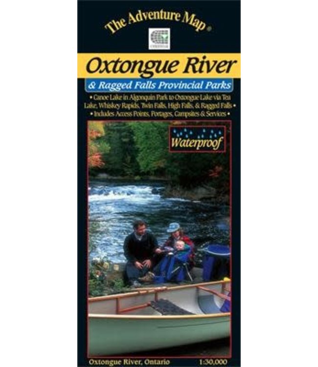
There are several access points and routes to choose from including the Oxtongue River itself (either downstream or upstream), Oxtongue Lake, or the Park Lake to Bluebell Lake section of Algonquin. Highlights along the routes include thunderingRagged Read more..
There are several access points and routes to choose from including the Oxtongue River itself (either downstream or upstream), Oxtongue Lake, or the Park Lake to Bluebell Lake section of Algonquin. Highlights along the routes include thundering Ragged Falls, Whiskey Rapids, Twin Falls, and High Falls. There are also several hiking trails both inside and outside the Park boundaries to choose from.
With campsites, portages, access points, rapids, falls, historic features, hiking trails, facilities and lots of other helpful information this map makes an excellent resource for daytrippers and those seeking a short two to three-day adventure.
0 stars based on 0 reviews
Add your review